Updated March 2021.
Pictures and words by Peter McFadden, email peterhoney914@gmail.com
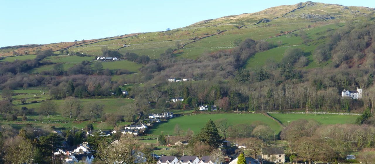
I did this walk from home near Pontwgan during the lockdown in May 2020. This was the sunniest month on record in the UK.
The walk starts at the Rowen Phone Box, now an information point and defibrillator station.
We suggest you take the Ordnance Survey OL17 map. The Coffin Path up through Parc Mawr woods is rough and can be very wet underfoot. Update March 2021. The wettest part of the Coffin Path has now been much improved, with a new watercourse alongside the path.
The route follows the North Wales Pilgrim’s Way (well-signposted) from Rowen to the Old Church, through Parc Mawr woods (Woodland Trust). Follow the Pilgrim’s Way signs and our pictures. Just after leaving the woods, turn right off the main path and cross a stile. The path goes to the left of a small farm, with the Hill Fort ahead. Follow a clear path to the summit.
There are great views in all directions: Conwy Castle, Moel Siabod and the Conwy Valley.
You can continue to Llangelynnin Old Church and then return to Rowen, or continue past the church to Cae Coch, and back to Rowen via the Roman Road.
(Detailed route to follow).
Returning from the Hill Fort to Rowen, take a right turn, soon after entering the woods. Pass a well-placed bench, with a good view to Rowen. Down flights of steps through the woods. The path alongside a wire netting fence is loose shale. Walking poles will help, or hold onto the fence. Rejoin the main path near a house on the edge of the woods. Head across fields to the 13-step stile and back to Rowen.
More info including aerial pic of the Hill Fort. See Coflein website Click here
and Megalithic Portal for more pics Click here


